Sample Surveys
|
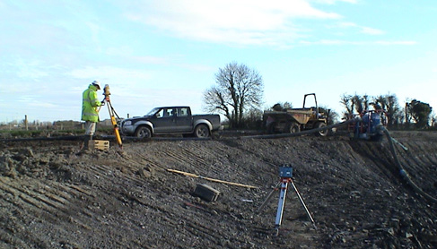
Construction Setting Out
With over the 15 years experience in Ireland and a further 10 years overseas we have completed many Setting Out projects from housing development roads to piling and bases for 75 storey office towers.
Laser Surveys can provide experienced setting out personnel for long or short term contracts in the building or civil engineering environment.
Whether it’s a grid of levels or setting out MX alignment data for road and rail projects, we have the past experience to get the job done right (first time).
Laser Surveys can also set up site GPS (GNSS) systems and can carry out Site Calibrations with full and proper reporting.
We are more than happy to act as Survey Consultant on a project and advise on any matter that requires specialist survey input. We are able to develop bespoke solutions and supply these as applications (apps) for upload to field controllers. With 30 years experience to draw down on, it saves rather than costs.
Laser Surveys have constructed a calibration baseline in Rathnew for the cross checking of our Total Stn equipment against our GPS receivers. This baseline will confirm that our equipment is performing up to the manufactures specifications. It is accurate to sub millimeter.
|