Sample Surveys
Topographical Surveys 1
Topographical Surveys 2
|
Topographical Surveys
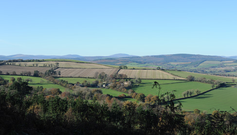
We carry out Topographical Surveys of various sizes from single house sites up to 5000 acre sites for planning and design purposes.
The purpose and use to which the survey will be used dictates how it is performed and presented.
For Architects & Planners, in addition to providing a detailed contour survey, we include surrounding buildings with appropriate heights shown on the plan and can also show sections or street elevations. The outputs are typically in CAD 2d & 3d.
For Engineers who usually have different requirements we can supply a full 3D Topographical Survey. This is different from an Architects 3d CAD output in that the ground is fully modelled including tops and bottoms of kerbs and tops of retaining walls, barriers etc with particular emphasis on accurate pavement levels. Details on U/G drainage lines and all overhead and surface chambers are also usually required in greater detail.
All Topographical Surveys are surveyed on a National Grid (ITM or Irish Grid) which is established using precision GPS equipment and where necessary levels are connected using a precise digital level run. This ensures that all surveys are laid down on an accurate and universal grid that agrees precisely with OS mapping and which all contractors can tie into.
|