Precise GPS Control Survey
Any large construction project requires a Topographical Survey which rests on a framework of Control Stations that must be to a higher level of accuracy than the topographical detail.
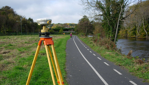
Today this is ordinarily achieved using the method of precise post processed fast static GPS observations and sometimes combined with a precise digital level run. This method gives substantially more accurate results than simple dial-up GPS which is fine for many detail survey applications but not suitable as accurate control.
Laser Surveys have performed numerous GPS networks and have checked many networks established for Ireland’s motorway network. We are more than happy to consult on these matters as well as install new network of GPS control or check an existing network before construction begins.
|